iPlanB
Interactive Big-Data-Analysis for Construction Site Planning

This project is funded by the “Europäischer Fonds für Regionale Entwicklung (EFRE)” and the Free and Hanseatic City of Hamburg.
iPlanB is a German acronym and stands for „Interactive Big Data Analysis for Construction Site Planning“. The project’s goal is to improve the traffic flow in the city of Hamburg by supporting construction site planning, traffic light programming, routing and more. The main challenge is to process and visualize Big Data for an entire view over the traffic situation in Hamburg in a useful, comprehensive way and provide meaningful interaction methods.
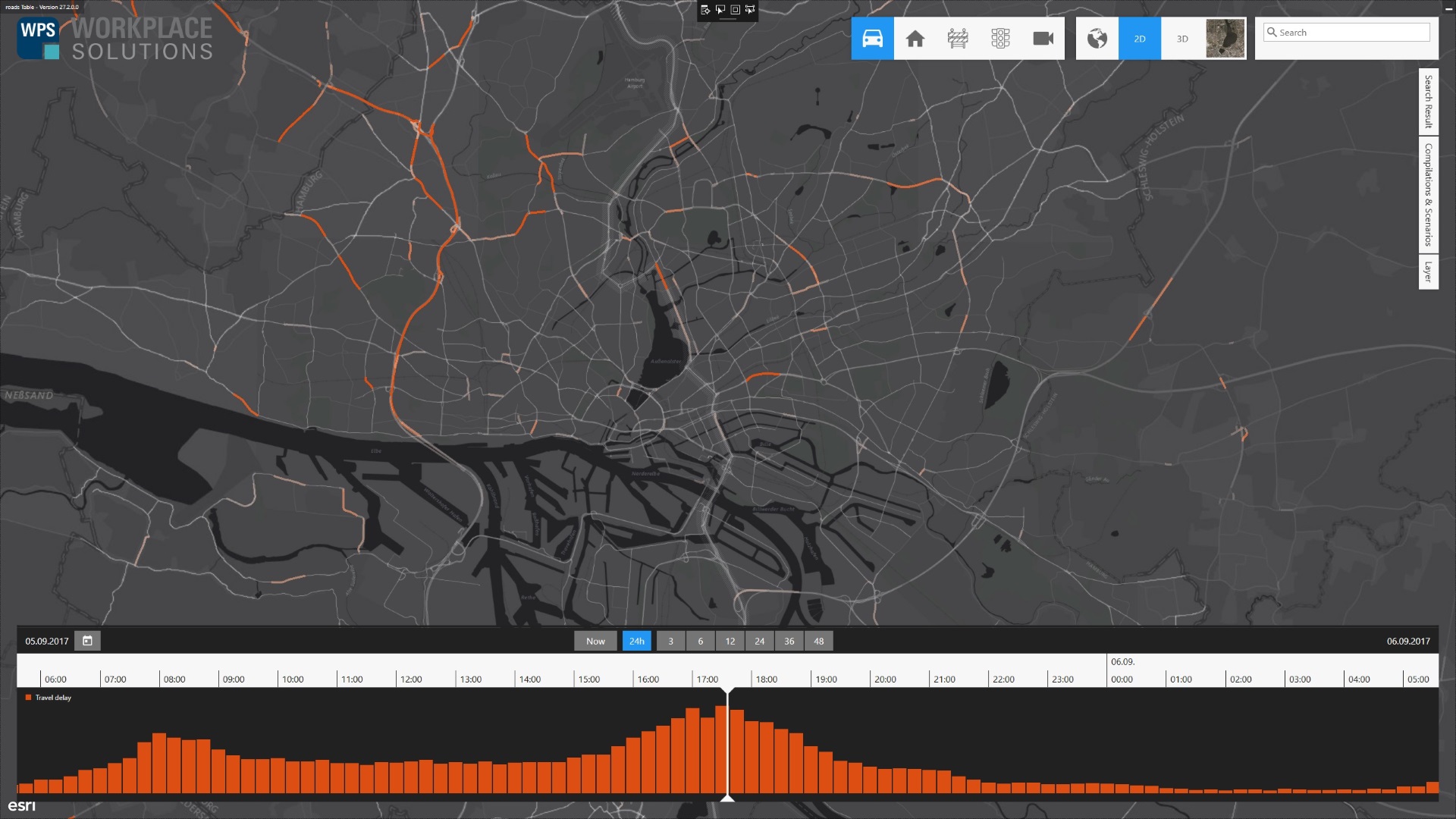
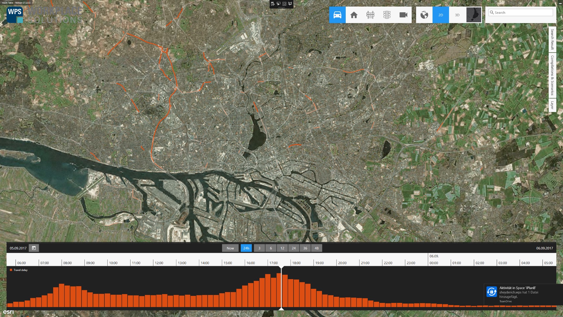
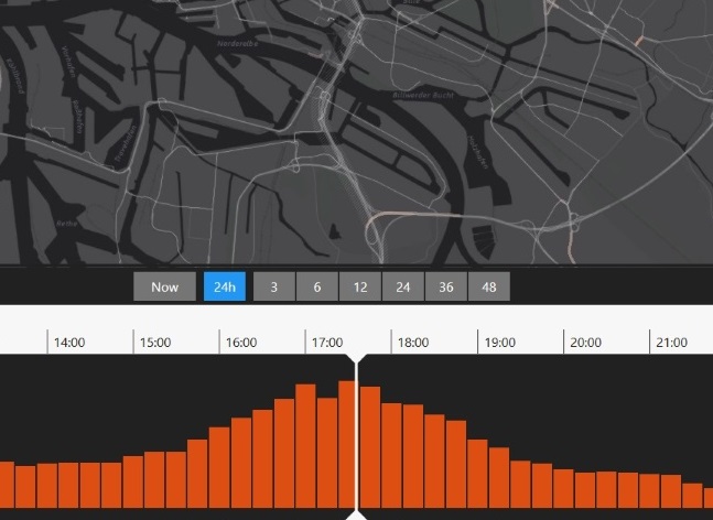
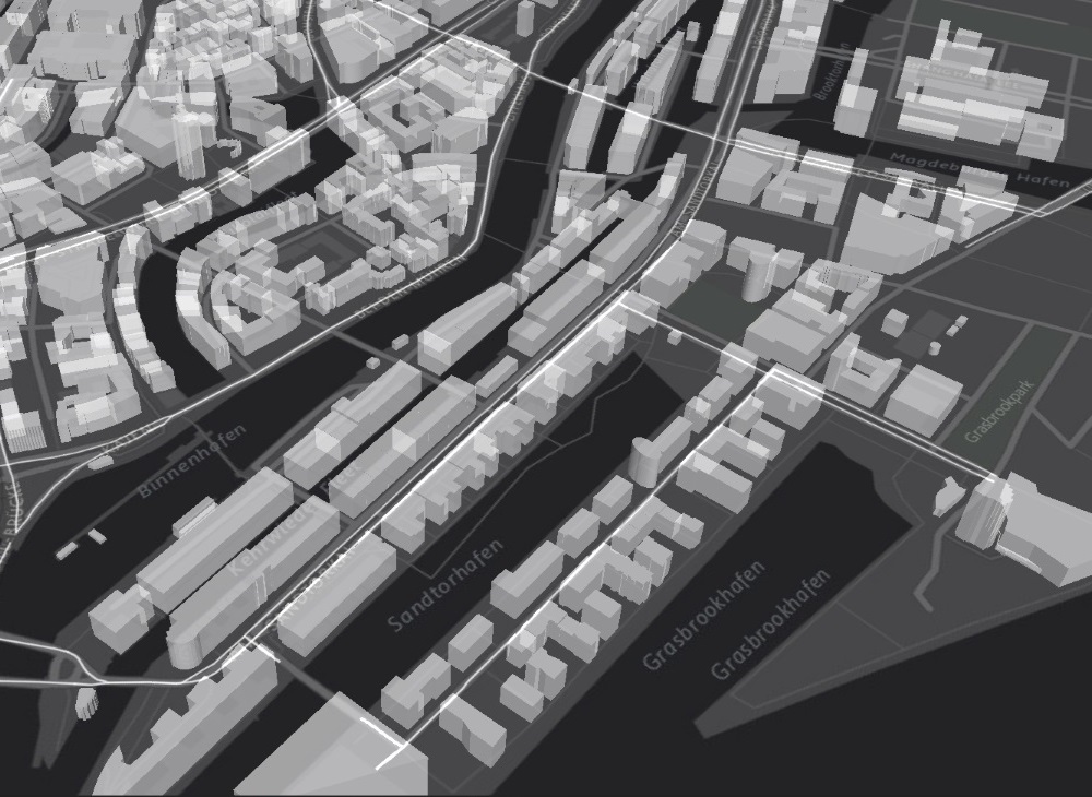
Current screenshot of iPlanB
Today more and more data is gathered from traffic detectors, sensors and GPS devices. To achieve a deeper understanding of traffic flow, iPlanB aims to integrate and visualize the various factors that influence the traffic throughout the city. iPlanB not only visualizes the live situation but also historical data. Learning from the past experts can discover weak spots and bottle-necks in construction site planning. Additionally machine learning algorithms can identify patterns and support this process even further.
Subjects
- Big Data
- Data visualization techniques
- Multi-user interaction on tabletops and interactive surfaces
- Touch gestures for GIS applications
- Prediction, simulation, learning algorithms
Project organization


The project is funded by the IFB Hamburg. In cooperation with WPS – Workplace Solutions the HCI group develops GIS solutions on multi-touch tables and mixed reality technology for multi-user environments in public institutions like the the Landesbetrieb Straßen, Brücken und Gewässer. The project started in September 2016 and the HCI group joined in April 2017 with the focus of interaction design and software development in research.
Team
Recent Events
- ACM ISS 2017
- ITS World Congress 2017
- Presentation at the solutions.hamburg
- nextReality ITS hackathon
- ...